
Nabire – The Provincial Government of Papua Tengah (Central Papua) is aligning its Regional Spatial Plan (RTRW) with forest protection policies and greenhouse gas emission reduction efforts as part of its sustainable development commitment.
The policy was emphasized during the ongoing harmonization process of the provincial spatial planning document in Nabire.
The initiative takes into account Central Papua’s forest coverage of approximately 6.7 million hectares, with more than 65 percent designated as protected forests and conservation areas. The provincial government views spatial planning as a key instrument to regulate land use so that economic development remains in balance with climate change mitigation measures.
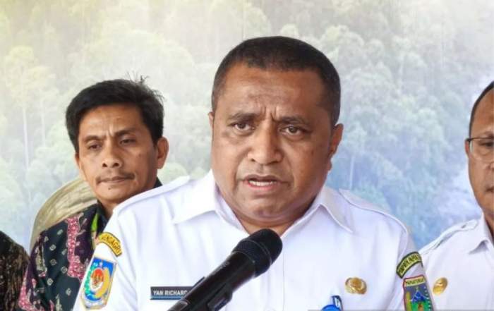
Head of the Environmental, Forestry and Land Affairs Agency of Central Papua, Yan Richard Pugu, stated that aligning the RTRW is a strategic step toward ensuring environmental sustainability alongside development.
“The RTRW serves not only as a zoning document but also as a land-use control instrument to ensure alignment with forest protection and emission reduction efforts,” he said.
The alignment is also carried out in coordination with the Ministry of Forestry to support the Indonesia’s FOLU Net Sink 2030 agenda, which aims to achieve net carbon absorption in the forestry and land-use sector by 2030.
Through spatial planning synchronization focused on protected and conservation areas, the Central Papua Government aims to strengthen green development foundations while contributing to Indonesia’s national emission reduction targets.